
Use satellite-supported ocean information and digital analysis to help improve fishing route planning, operational efficiency, resource management, and maritime awareness.
Deep-Sea Fishing
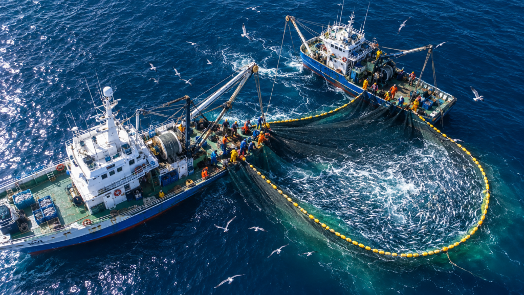
About This Service
Smarter Maritime Planning Through Space-Based Intelligence
Our deep-sea fishing efficiency solutions combine available satellite, ocean, weather, and geospatial information to support better maritime planning and operational decisions.
The service can help fishing operators reduce unnecessary search time, improve route planning, understand ocean conditions, and manage operations more efficiently.
Applications
- Ocean-condition analysis
- Sea-surface temperature assessment
- Potential fishing-zone support
- Route-planning assistance
- Weather and marine condition integration
- Operational area visualization
- Fuel-efficiency planning support
- Fleet activity dashboards
- Sustainable fishing management support