
Identify flood-affected areas, assess water expansion, monitor vulnerable locations, and support preparedness, response, and recovery activities.
Flood Monitoring
About This Service
Timely Intelligence for Flood Preparedness and Response
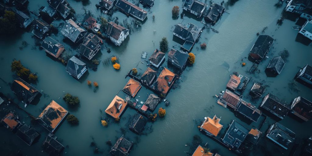
Floods can rapidly affect communities, agriculture, infrastructure, transportation networks, and essential services.
Our flood monitoring services use available satellite and geospatial information to map affected areas, monitor changes in water extent, identify potentially vulnerable locations, and support emergency response and recovery planning.
Applications
- Flood extent mapping
- Water expansion monitoring
- Affected-area identification
- Infrastructure exposure analysis
- Agricultural damage assessment
- Community vulnerability mapping
- Historical flood comparison
- Emergency planning support
- Post-flood recovery assessment