
Use satellite-supported ocean information and digital analysis to help improve fishing route planning, operational efficiency, resource management, and maritime awareness.
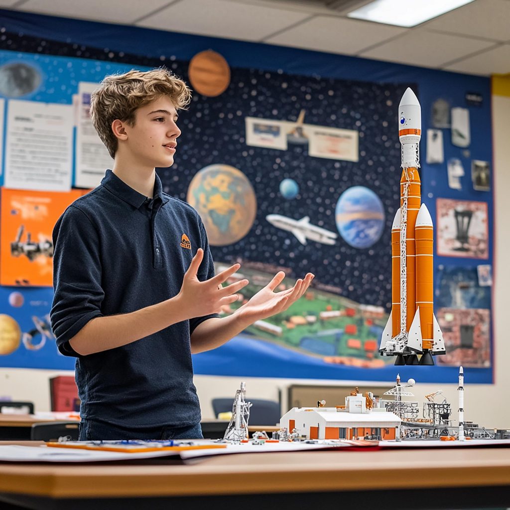
Basic of space technology education
Use satellite-supported ocean information and digital analysis to help improve fishing route planning, operational efficiency, resource management, and maritime awareness.
Provide timely geospatial intelligence to support emergency planning, damage assessment, resource coordination, and recovery operations.
Identify flood-affected areas, assess water expansion, monitor vulnerable locations, and support preparedness, response, and recovery activities.
Observe forest coverage, vegetation conditions, land-use change, fire-affected areas, and potential deforestation across large and remote regions.
Support smarter agricultural decisions through crop monitoring, vegetation assessment, field analysis, irrigation planning, and early identification of potential risks.
Transform satellite imagery into clear, actionable intelligence for monitoring, planning, inspection, assessment, and operational decision-making.